.svg)

Central Vermont has never been a place where movement came easily. Long before Interstate 89 cut a clean line through Middlesex, Waterbury, Bolton, and Richmond, the region depended on narrower corridors shaped by rivers, hills, and stubborn necessity. The Winooski River valley became one of the earliest east-west passages, and in 1805 the state chartered the 36-mile Winooski Turnpike to connect Burlington and Montpelier along a relatively workable route. Much of that corridor later became U.S. Route 2 — still one of the foundational roads in Vermont.
Other roads followed the same logic: don’t fight the land more than you have to. Route 14, now running from White River Junction through Royalton, Barre, East Montpelier, and on toward the Northeast Kingdom, was designated in 1922 as part of the New England road marking system. It still reads like an older kind of Vermont road — less expressway than connective tissue, the sort of corridor that links villages, river bends, and working landscapes rather than bypassing them.
Route 110 tells a similar story. It runs from Royalton north to Barre, following the valley of the First Branch of the White River through Tunbridge and Chelsea — towns where the road remains tightly bound to the river, historic buildings, and covered bridges. Tunbridge’s own local history notes that the First Branch provided numerous sites for mills and small industry, including sawmills, grist mills, a woolen mill, and an iron foundry. In other words, the road and the river were never separate stories.
Then there is Route 302, one of the clearest examples of how Central Vermont’s geography still dictates its infrastructure. Established as a U.S. route in 1935, it begins in Montpelier and moves east through Berlin, Barre, Orange, Topsham, Groton, Newbury, and Wells River. In Vermont, it tracks the Stevens Branch, the Jail Branch, the Waits River, and the Wells River — less a straight line than a chain of valleys strung together into a road. Route 302 feels modern when you are driving it, but its logic is much older than its number.
That is what makes roads in Central Vermont so revealing. They do not simply connect places. They reveal the terms on which connection was possible. If you look at a map of Montpelier, Barre, Berlin, Orange, Chelsea, Tunbridge, Bradford, or Topsham, you can still see the old bargain: follow water, avoid the worst terrain, and accept that a road here will always be partly a conversation with weather.
The 1927 flood made that painfully clear. Vermont Historical Society records that 1,258 bridges were destroyed or severely damaged statewide, with highway and bridge damage estimated at $7.755 million. In Montpelier, water rose roughly 12 feet above street level on Main and State Streets. Roads were not passive infrastructure exposed by the disaster; they were among its central casualties. In a state where travel and commerce depended on bridges and narrow corridors, flood damage was social damage, economic damage, and civic damage all at once.
Even I-89, for all its speed and scale, did not erase that older truth. It changed the tempo of movement through Central Vermont when it opened in stages in the early 1960s, but it did not replace local knowledge. It simply layered a new system over an old landscape. A contractor moving equipment from Montpelier to Randolph or from Barre toward Bradford still knows that the route matters, the shoulder matters, the weather matters, and the last few miles often matter most.
That is why Route 14 still feels different from the interstate. Why Route 110 through Tunbridge and Chelsea still feels like a working river road. Why Route 302 east of Barre still feels stitched to the valleys rather than imposed upon them. These are not just numbered highways. They are inherited solutions to a hard geography.
And they still shape the region’s economy. They shape how materials move, how equipment gets delivered, how quickly help can reach a site, and how people in Central Vermont think about distance. Ten miles on a map has never meant much by itself here. The road is the real unit of meaning.
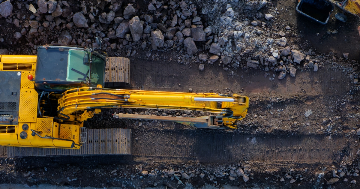
For Peakline, that history is not decorative. It is the backdrop to the work now — rentals, deliveries, repairs, and jobsites spread across the same corridors that have structured Central Vermont for two centuries. In a region like this, the road has never been separate from the work. It has always been part of it.
FAQs
What are the most important roads in Central Vermont for equipment and contractors?
Route 14, Route 302, and I-89 are key corridors that shape how equipment, materials, and crews move between towns and job sites across Central Vermont.
Why do major road corridors matter for local construction and development?
These roads influence where projects happen, how quickly equipment can be delivered, and how efficiently contractors can operate across multiple towns.
How do road networks affect equipment rental and repair timing?
In Central Vermont, companies like Peakline Rental & Repair plan delivery and service routes around these corridors to reduce travel time and improve response speed.